
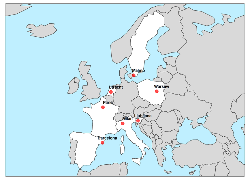
WP1 of the ATRAPA project is in full swing, with data collection across the 7 project cities advancing in parallel. This part of the project focuses on collecting and preparing data to assess urban transformations across: Barcelona, Milan, Ljubljana, Warsaw, Utrecht, Malmö, and Paris (Figure 1). The main goal of WP1 is to build an urban transformation index that captures physical changes in urban space -such as the creation of bike lanes, pedestrian zones, or street reconfigurations- allowing for comparisons across cities and over time.
Progress has been steady, although not without challenges, particularly when it comes to collecting comparable spatial data across different cities. One of our first steps has been to explore the availability of official municipal datasets. However, we quickly found that historical data is often limited, inconsistent between cities, and not always available in a usable or comparable format. We also looked into using satellite imagery and requested vector data from commercial providers. While both have potential, they come with limitations. Commercial vector datasets often lack detailed information on pedestrian and cycling infrastructure or do not cover long enough time periods. Satellite imagery requires complex and expensive processing, and even then, the results may not be robust or precise enough to capture meaningful urban change.
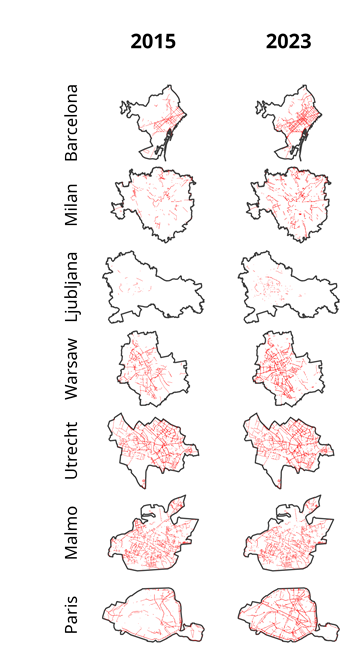
As a result, we concluded that the most suitable option is to work with OpenStreetMap (OSM), a collaborative, open-source geospatial data platform. OSM offers detailed and regularly updated information on urban infrastructure, with global coverage and access to historical map versions. Based on this data, we are developing indicators of urban transformation that allow us to quantify and compare mobility-related interventions across cities. Figure 2 shows the evolution of the cycling network, as captured by OSM, between 2015 and 2023 in the ATRAPA cities. Figure 3 presents an example of one such indicator in Barcelona: the length of cycleways relative to the total road network, calculated at the census tract level. While these early results are promising, OSM has known limitations. Data quality and completeness can vary significantly depending on the city, infrastructure type, and time period. For this reason, validating the data is an essential step to ensure it is reliable enough for cross-city comparisons.
We are currently working on this validation, using Google Street View as a reference to check the presence and timing of infrastructure as mapped in OSM. This effort aims to improve the reliability of our indicators and explore whether a scalable, transferable validation approach could support future research using open geospatial data to track infrastructure change over time.